Fishing Spots Near Me: No App Needed
Every fishing app wants something before it shows you water. An account. A location permission you cannot fully control. A push notification you never asked for. None of that is required to find a decent spot near you, or to check whether the fish are actually biting there today. Public land records and free government maps get you most of the way there.
Here is how to actually do it, including the parts spot-finder marketing tends to skip.
Public land maps do the finding for you
Start with land that is already public by law. The Army Corps of Engineers manages more reservoir shoreline than most people realize, and most of it allows free bank fishing. Search "[lake name] Corps of Engineers recreation" and you will usually land on a page with boat ramps and day-use areas marked out. The US Forest Service and the Bureau of Land Management both publish interactive recreation maps for land that borders streams and alpine lakes never turned up by a plain search. National wildlife refuges allow fishing too, on a schedule the refuge sets, so check the specific refuge page first. None of these tools ask for a login.
Satellite view answers the access question before you drive
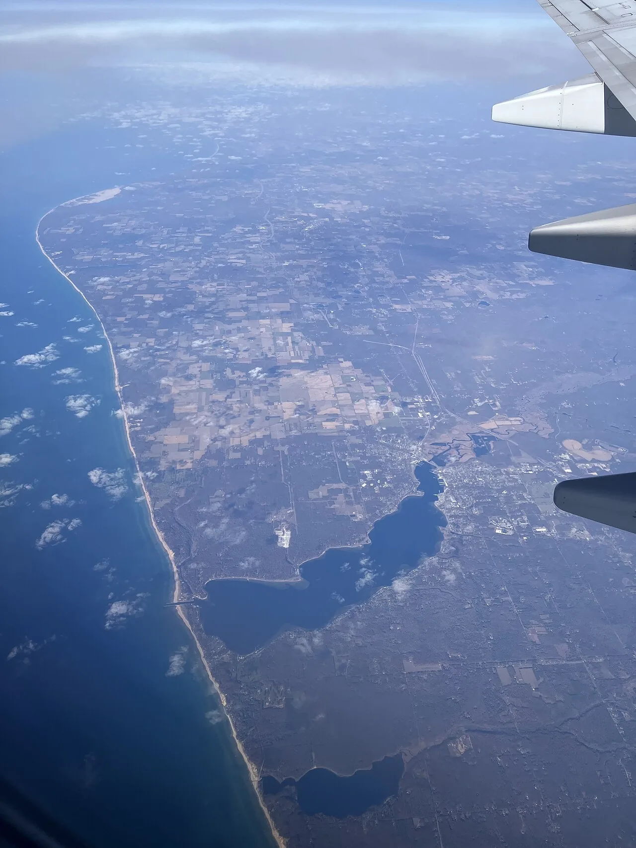
A phone map is fine for directions. What actually helps you scout a spot is the satellite layer on Google Maps or Google Earth, viewed in a browser rather than the app itself. Zoom into the shoreline and look for a pull-off or small parking area near the water. Then look for a worn foot trail leading down the bank, the kind that only exists because people already fish there. Fence lines and property boundaries usually show up too, so you can tell a public bank from someone's private dock before you end up standing in their backyard.
Judge the spot: access, water type, pressure
Access decides whether you can actually fish it. A gorgeous lake is worthless if the only bank is fenced private land and the sole entry is a locked gate. Look for a marked parking area, a boat ramp, or a public easement. If you cannot find one on a map, do not assume you will find one standing there in person.
Water type sets your expectations. A shallow farm pond fishes nothing like a river channel or a wind-exposed reservoir bay. Ponds warm fast and hold fish shallow most of the year. Rivers move fish around with current and season, so a bend that is dead in July can be loaded by October. Reservoirs behave like small inland seas, with the backs of coves usually calmer and warmer than the open water.
Pressure is the one most people ignore, right up until they are standing next to a cooler of someone else's empty cans. Water fifty yards from a paved lot near a city gets hit hard, especially on weekends. A pond that takes a ten-minute walk to reach holds up much better over a season. The map tells you where the water sits. Your own legs tell you how much pressure it has taken.
State agencies already did the mapping for you
Every state fish and wildlife agency runs a program built for exactly this. Search "[your state] public fishing access map" and you will usually find an interactive tool listing water the state secured specifically so anglers do not need permission to walk in. Many of the same agencies publish stocking schedules, so you can see which lake got a truckload of trout last week instead of guessing.
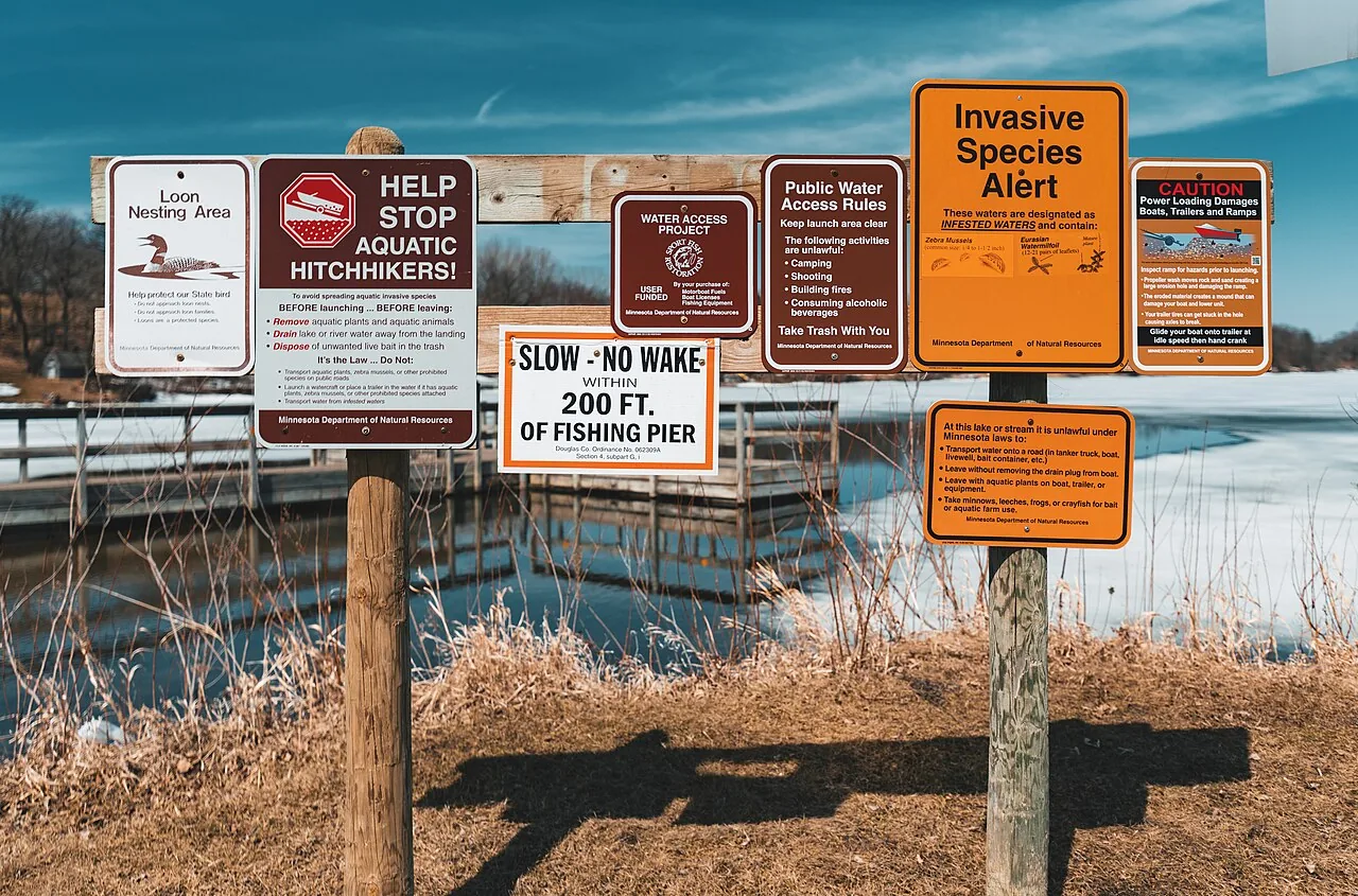
None of this replaces a license. Every US state requires one before you fish public water, aside from a few narrow exceptions like a free fishing weekend. Rules on size limits, seasons, and bait vary by state and sometimes by county, so treat everything here as a way to find water, not a substitute for reading your own state's actual regulations.
Where napp fits into all this
Once you have found candidate water, the next question is whether it is worth the drive today. That part is what napp handles. It opens in a browser like any other page, no account and nothing to install, and sorts the water nearest to you by distance the moment it loads. Each spot shows live weather, an estimated water temperature, and a rule-based read on which species are most likely biting right now, with the reasoning shown instead of a black-box score. Browse fishing spots by state and region at /regions, or see how the ranking works on the /about page.
It will not replace walking a bank you found on a satellite photo. Use the public tools to find the water. Check today's conditions at napp.fish, free, no login, before you load the truck.
Photos via Wikimedia Commons (CC). See the blog image attribution file.